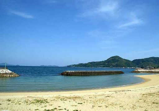
Cruising & Suo-Oshima
At NAVITIME, such as the height difference of the course,
You can also check various detailed information.
You can also check various detailed information.
Cruising & Suo-Oshima
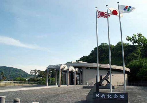
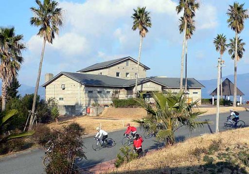
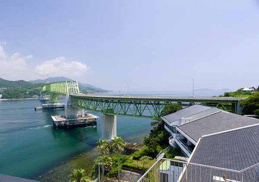
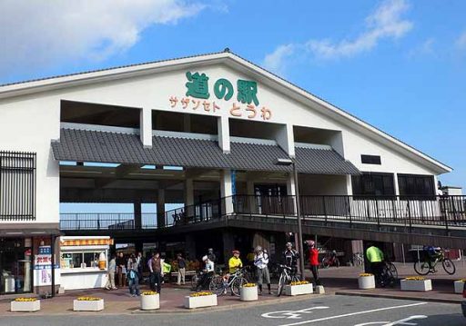
This course takes you cycling along the Suo-Oshima coastline after enjoying lunch on a ferry ride(Yanai Port to Ihota Port). Take in the beautiful Suo-Oshima coastline view.
DATA
- Length
- 43km
- Max. difference in elevation
- 39m
- Slope ratio
- Overall:0%
- Incline:3.1%
- Decline:3.3%
- Elevation gain
- Incline:332m
- Decline:338m
- Estimated course time
- By car:1hrs,4min
- Bicycle:2hrs,51min
- On foot:8hrs,35min
-512x358.jpg)